The Provinces
of Siam
A typographic atlas
of the kingdom in
four parts.
Thailand counts seventy-seven provinces. To grasp them all at once you have to step back to four: the mountainous North, the dry-plateau Northeast, the river-plain Central, and the peninsular South. Every province in the country sits in one of these four. The index below lists them all, region by region, with a single line on each.
Seventy-seven shapes,
four colours.
Hover any province for its name; click to open the page. The four colours mark the cultural regions used throughout this atlas.
Open the full plate →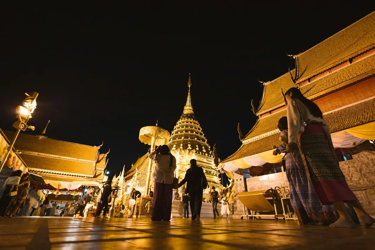

- 01.01Chiang MaiLanna capital
- 01.02Chiang RaiGolden Triangle
- 01.03LampangHorse-cart town
- 01.04LamphunHariphunchai relics
- 01.05Mae Hong SonThree-mist valley
- 01.06NanMural temples
- 01.07PhayaoLakeside province
- 01.08PhraeTeak houses
- 01.09UttaraditSirikit Dam
- 01.10TakMae Sot border
- 01.11SukhothaiFirst Thai capital
- 01.12PhitsanulokPhra Buddha Chinnarat
- 01.13PhichitCrocodile legends
- 01.14PhetchabunKhao Kho highlands
- 01.15Nakhon SawanFour rivers meet
- 01.16Kamphaeng PhetWalled ruins
- 01.17Uthai ThaniSakae Krang river
- 02.01Nakhon RatchasimaGateway to Isaan
- 02.02Khon KaenUniversity hub
- 02.03Udon ThaniBan Chiang pottery
- 02.04Ubon RatchathaniCandle festival
- 02.05BuriramPhanom Rung sanctuary
- 02.06SurinElephant round-up
- 02.07Si Sa KetKhao Phra Wihan
- 02.08Roi EtWalking-Buddha tower
- 02.09YasothonRocket festival
- 02.10KalasinDinosaur fossils
- 02.11Maha SarakhamTaksila of Isaan
- 02.12ChaiyaphumPa Hin Ngam
- 02.13LoeiPhi Ta Khon masks
- 02.14Nong Bua LamphuPha Taem cliffs
- 02.15Nong KhaiFriendship Bridge
- 02.16Bueng KanWat Phu Tok
- 02.17Sakon NakhonIndigo weaving
- 02.18Nakhon PhanomNaga fireballs
- 02.19MukdahanIndochina market
- 02.20Amnat CharoenPhra Mongkhon Ming Mueang
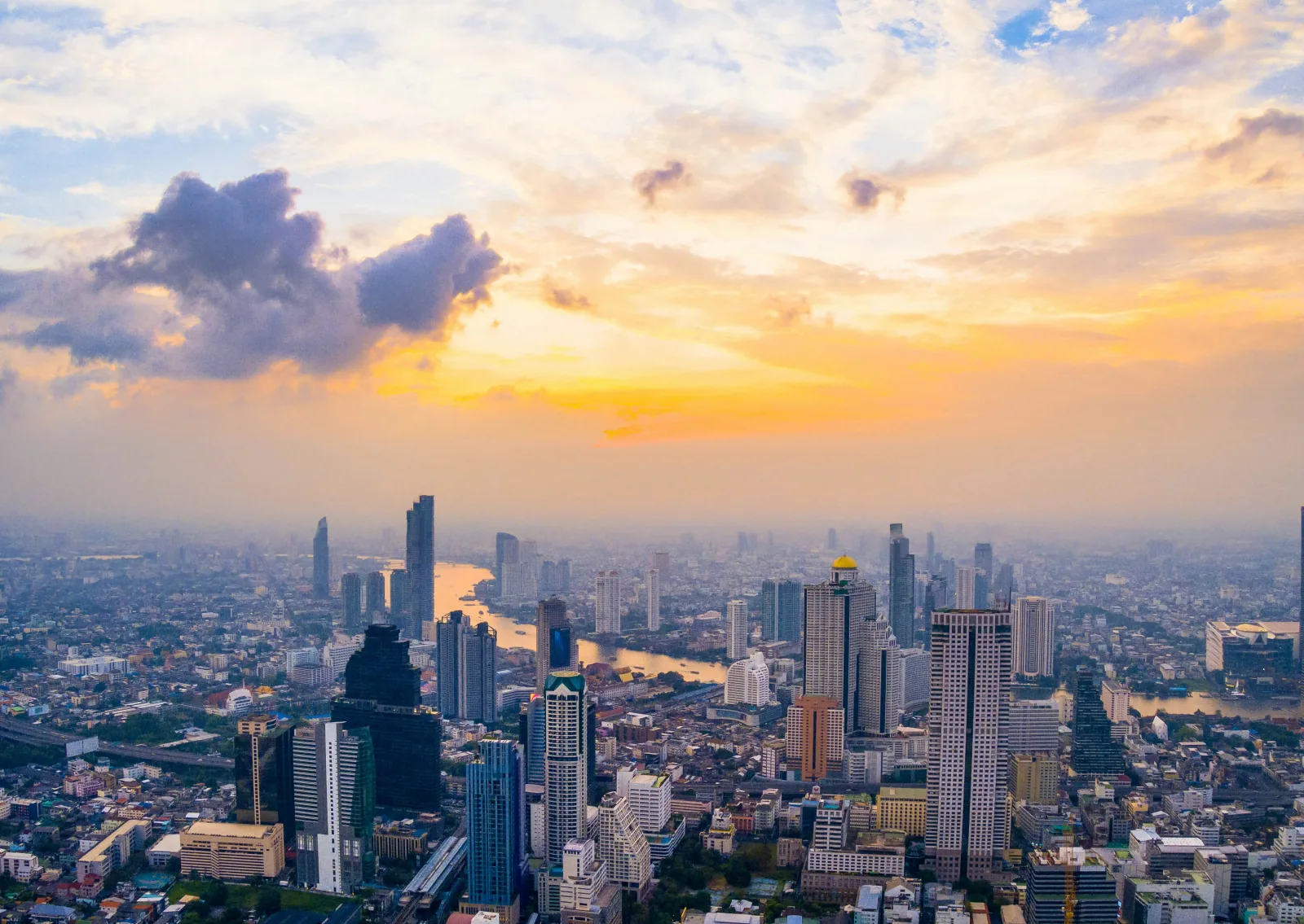
- 03.01BangkokCapital metropolis
- 03.02AyutthayaOld Siamese capital
- 03.03NonthaburiRiverine suburb
- 03.04Pathum ThaniTech corridor
- 03.05Samut PrakanAncient City museum
- 03.06Samut SakhonMahachai seafood
- 03.07Samut SongkhramAmphawa floating market
- 03.08Nakhon PathomPhra Pathom Chedi
- 03.09SaraburiPhra Phutthabat footprint
- 03.10LopburiMonkey town
- 03.11Sing BuriBang Rachan heroes
- 03.12Ang ThongCourt-doll village
- 03.13Chai NatChao Phraya dam
- 03.14Suphan BuriKhun Phaen country
- 03.15Nakhon NayokKhao Yai foothills
- 03.16ChachoengsaoBang Pakong river
- 03.17ChanthaburiGem market
- 03.18Chon BuriPattaya & Sri Racha
- 03.19Prachin BuriDvaravati relics
- 03.20RayongIndustrial coast
- 03.21Sa KaeoCambodia border
- 03.22TratKoh Chang archipelago
- 03.23KanchanaburiDeath Railway
- 03.24PhetchaburiPalm sugar & palaces
- 03.25Prachuap Khiri KhanHua Hin coast
- 03.26RatchaburiDamnoen Saduak
- 04.01PhuketAndaman island province
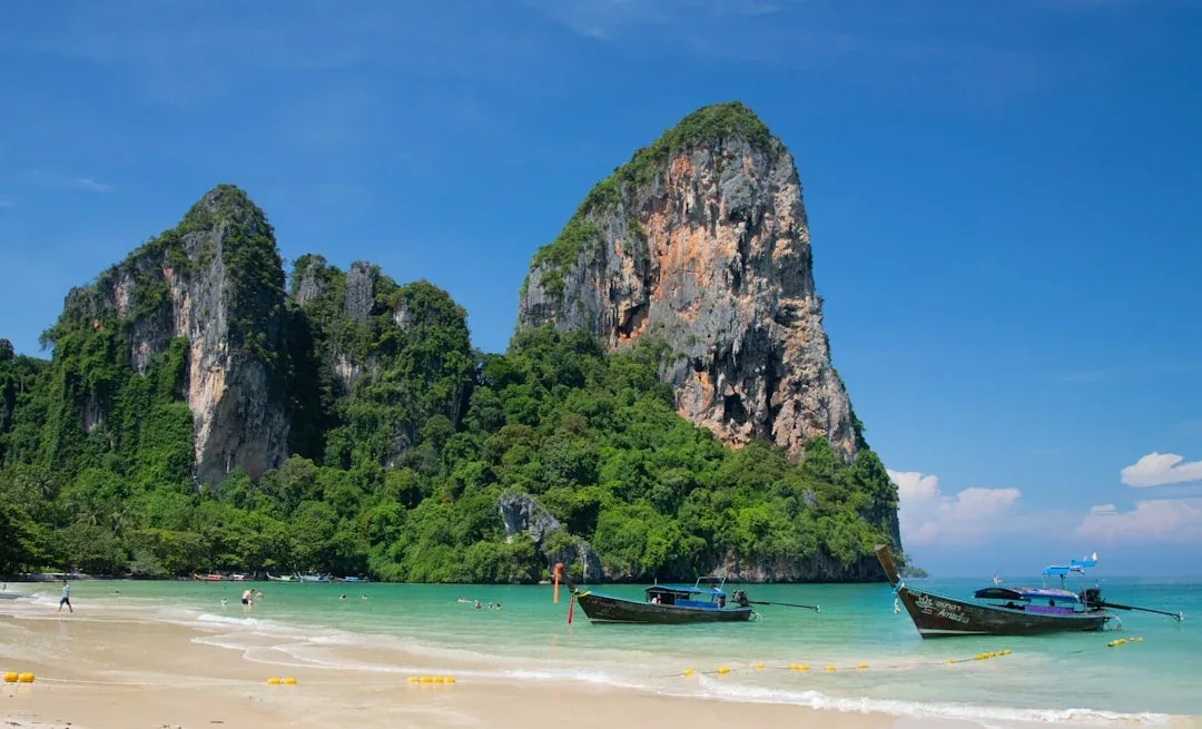
- 04.02KrabiRailay limestone
- 04.03Surat ThaniSamui & Phangan gateway
- 04.04Nakhon Si ThammaratOld Tambralinga seat
- 04.05SongkhlaHat Yai & lake
- 04.06TrangDim sum & islands
- 04.07ChumphonDiver's gateway
- 04.08RanongRainiest province
- 04.09Phang NgaKarst-bay archipelago
- 04.10PhatthalungSongkhla lake shore
- 04.11SatunTarutao archipelago
- 04.12YalaBetong border town
- 04.13PattaniKrue Se mosque
- 04.14NarathiwatMalaysia border
The four-region division used here is the cultural one — the same one schools and television use. The Royal Society's six-region statistical split breaks Central into Central, East, and West; we keep them together here so the country reads as four. Set in Bebas Neue and Roboto; province lines run with a Georgia italic for claims-to-fame.